

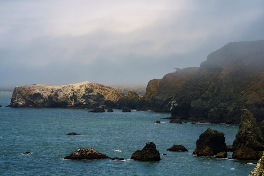
Beneath roughly 130 feet of grey North Sea water, somewhere between the eastern coast of England and the Netherlands, there is a forest. It has been there, technically, since around 6,000 to 8,000 years ago, when the sea finished swallowing the last of it. The trees rotted long ago. But the DNA did not.
In early 2026, a team of researchers published findings in the Proceedings of the National Academy of Sciences that changed the basic story of prehistoric Europe. By drilling dozens of sediment cores from the floor of the North Sea and extracting hundreds of ancient DNA samples, they reconstructed what the submerged landscape of Doggerland actually looked like — not in broad geological strokes, but in specific biological detail. What they found was not a bleak corridor between two landmasses. It was a home.
Oak. Elm. Hazel. Those forests were already established in southern Doggerland well before Britain’s own reforestation. To understand why that matters, consider what Britain looked like at the same time: open tundra, cold and largely treeless, still grinding its way out of the last ice age. While the land that would become England was still frozen steppe, Doggerland was already green. Already warm enough. Already full.
And here’s the part that stops you cold: one of the tree species the DNA analysis detected had been believed to have disappeared from the region long before the last ice age. The researchers found traces of it anyway, buried in the sediment, surviving only as fragments of genetic material. A tree that had no business being there. Which sounds like a mistake until you realize the data came from 252 samples across 41 cores — one of the largest sedimentary ancient DNA studies of its kind ever conducted.
A Homeland, Not a Highway
The name “Doggerland” comes from the Dogger Bank, the shallow underwater plateau that marks its highest ground. For most of the 20th century, the place was treated in textbooks as a land bridge, a strip of terrain that people and animals crossed to get somewhere else. A convenience. A geographic footnote.
That framing was always a little odd, if you thought about it. Land bridges are usually narrow. Doggerland, at its greatest extent, was roughly the size of modern-day Britain itself. It had rivers, we knew that, trawlers had been pulling up mammoth bones, and had been working flint from the North Sea floor since the 1930s. There were clearly animals. There were clearly people. And yet the dominant image remained: a cold, featureless passage. A place you passed through.
The 2026 University of Warwick study makes that framing impossible to hold. If forests of oak and elm were thriving in southern Doggerland 16,000 years ago, then Mesolithic communities living there weren’t roughing it on open plains. They had woodland cover. They had the game that temperate forests support: bears, boars, deer, and aurochs. They had food and fuel and shelter in the landscape itself. They were, by any reasonable definition, home.
How strange it is to think about now: an entire civilization’s worth of memory, drowned.
The Thousand Lost Years

The submersion of Doggerland wasn’t a single event. It happened in stages, as glacial melt raised sea levels across thousands of years. The southern portions flooded first. The higher ground, what would become the Dogger Bank, held on longer. Previous estimates had placed the final submersion of that last remnant around 7,000 to 8,000 years ago, according to earlier estimates. The new study offers a revised timeline for how long Doggerland persisted as habitable land, adding a full millennium to how long Doggerland existed as a continuous landscape.
A thousand years is not a rounding error. In human terms, that’s forty generations. Forty generations of people who lived their entire lives on land that is now the seabed. They built no stone monuments we’ve found. They left no written records. What they left was pollen, and spores, and fragments of genetic material pressed into lake-bottom sediment, and for 6,000 years, the North Sea kept it.
The sedimentary DNA technique that made this possible is relatively new. The principle is straightforward: when organisms die, some of their DNA gets incorporated into the sediment layers around them. Drill deep enough, extract carefully enough, and you can read those layers like a biological archive. The University of Warwick team didn’t just identify which trees grew where;t hey could track how the landscape changed over time, which species arrived when, and how the ecosystem responded as the climate warmed and the water rose.
That tree species with no business surviving in the region, the one whose DNA turned up in the cores despite an absence of hundreds of thousands of years, is a detail the researchers noted without full explanation. It may represent a refugium population that clung on in Doggerland’s unusually temperate southern zone. It may represent something stranger. The study doesn’t resolve it. But it’s the kind of finding that suggests we are still, in fundamental ways, just beginning to read what the seabed knows.
What the Seabed Still Holds
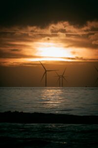
There is a practical urgency to all of this that goes beyond the academic. The North Sea floor is not untouched. Pipelines run across it. Wind turbine foundations are drilled into it. Fishing trawlers drag through it. Every year, artifacts surface that were last touched by human hands eight or nine thousand years ago, and every year, some of those artifacts are lost before anyone can study them.
The University of Warwick study analyzed cores that were, in several cases, already collected for other purposes, such as environmental surveys and geological assessments. The ancient DNA was, in a sense, a bonus. A side effect of looking at the seabed for different reasons entirely.
That is the situation we are in: one of the most significant archaeological landscapes on the planet is also one of the most industrialized seabeds in the world. The people who lived in those temperate oak forests 14,000 years ago left behind a record that the sediment preserved across every ice age, every flood, every century of trawling and drilling. The question is whether we move quickly enough to read it before we bury it a second time, this time under cables and concrete and the perfectly reasonable demands of modern energy infrastructure.
The forest is still down there. Most of it we haven’t sampled yet.
Sources
Primary source reporting on the March 2026 PNAS study and its key findings
This article was researched, written, and edited by our human editorial team. AI tools were used in a limited research-assistant capacity. All claims were independently verified.